Area: 3305 square kilometers
Density of population: 760 people per square kilometer
Literacy Rate: 72.77 % - Male: 82.52 %, Female: 62.05 %
Male Female Ratio: 1000:916
Boundaries of Aurangabad District
North: Bhojpur District, Arwal District, Bihar
South: Jharkhand
East: Rohtas District, Bihar
West: Gaya District, Bihar
Aurangabad District Average Rainfall: 799.93 mm
Aurangabad District Average Temperature in Summer: 33.25 deg C
Aurangabad District Average Temperature in Winter: 16.43 deg C
AURANGABAD DISTRICT MAP

Major Rivers: Sone, Punpun, Auranga, Bataane, Morhar, Aadri
Sub Divisions: Aurangabad, Daudnagar
Blocks: Madanpur , Kutumba, Daudnagar, Aurangabad, Barun , Obra, Devariya, Nabinagar, Haspura, Goh, Rafiganj
Assembly Constituencies: Goh, Obra, Nabinagar, Kutumba, Aurangabad, Rafiganj
Aurangabad District Nearby Attractions
1. Deo
2. Deo Kund
3. Umga
4. Amjhar Sharif
5. Pawai
6. Mali
7. Chandbigha
8. Piru
9. Siris
Aurangabad District Facts: It is one of the 36 most backward districts in Bihar and is receiving funds from the Backward Regions Grant Fund Program.
Major Agricultural Products: Paddy, wheat, sugarcane, lentils
Major Industries: Carpet, blanket weaving
Major Educational Institutions: Sachhindanand Sinha College, Anugrah Narayan, S. N. Sinha College, R. L. S. Y. College, Kishori Sinha Mahilla College
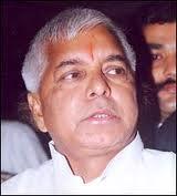
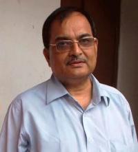
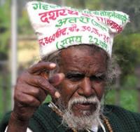
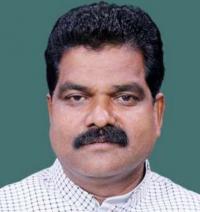
Famous People From Aurangabad District: Anugrah Narayan Singh, Satyendra Dubey, Shankar Dayal Singh, Nikhil Kumar, Ramadhar Singh, Satyendra Narayan Singh
Last Updated : Thursday Jun 14 , 2012


