Area: 72 square kilometers
Density of Population: 2651 people per square kilometer
Literacy Rate: 88.06 % - Male: 91.53 %, Female: 81.14 %
Male Female Ratio: 1000:533
Boundaries of Daman District
North, East and South: Valsad District, Gujarat
West: Arabian Sea
Daman District Average Rainfall: 1687 mm
Daman District Average Temperature in Summer: 39 deg C
Daman District Average Temperature in Winter: 11 deg C
DAMAN DISTRICT MAP

Major Rivers: Daman Ganga River
Block: Daman
Parliamentary Constituencies: Daman and Diu
History of Daman District: Daman came under the control of Portuguese in 1531 and it was given to them formally by Gujarat Sultan in 1539. It was added to the Indian Union on 19th December 1961. Then until 1987, it remained a part of Goa. In 1987, it was made as a Union Territory of India.
Daman District Facts: Fishing is the chief occupation of people. The nearby railway station is located at Vapi which is 7 kilometers from here.
What is Daman District Famous For: Portugal Colonial Architecture
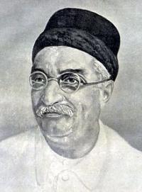
Famous People From Daman District: Lalubhai Patel
Last Updated : Thursday Jun 14 , 2012


