Date of formation: Changlang District was carved out of Tirap District on 14th November 1987.
Area: 4,662 square kilometers
Density of population: 32 people per square kilometer
Literacy Rate: 61.90 % - Male: 70.80 %, Female: 52.08 %
Male Female Ratio: 1000:914
Boundaries of Changlang District
North: Lohit District, Arunachal Pradesh
South: Tirap District, Arunachal Pradesh and Myanmar
East: China
West: Assam
Changlang District Average Rainfall: 3015.8 mm
Changlang District Average Temperature in Summer: 26.96 deg C
Changlang District Average Temperature in Winter: 18.63 deg C
CHANGLANG DISTRICT MAP

Major Rivers: River Dehing, Noa-Dihing River, Namchik River, Tirap River, Dapha River, Namphai, Tissu, Tarit, Tara, Tikeng, Tiging River
Sub Divisions: Changlang, Miao, Jairampur, Bordumsa
Circles: Changlang, Khimiyang, Namtok, Yatdam, Miao, Kharsang, Vijoynagar, Nampong, Manmao, Jairampur, Rima-putak, Bordumsa, Diyun
Assembly Constituencies: Bordumsa-Diyum, Miao, Nampong, Changlang South, Changlang North
Changlang District Nearby Attractions
1. Miao
2. Tibetan Refugee Settlement Camp, Miao
3. Namdapada Tiger Reserve and National Park
4. Vijoynagar
5. Jairampur
6. Stilwell Road also called Ledo Road
7. World War II Cemetery
8. Nampong
9. Lake Of No Return
10. Ranglum
11. Kengkho Village
12. Jongpho Hate
13. Thamlom Village
Changlang District Facts: This is the second most populous district of Arunachal Pradesh next to Papum Pare. This is a flood prone area. This district is rich in flora and fauna.
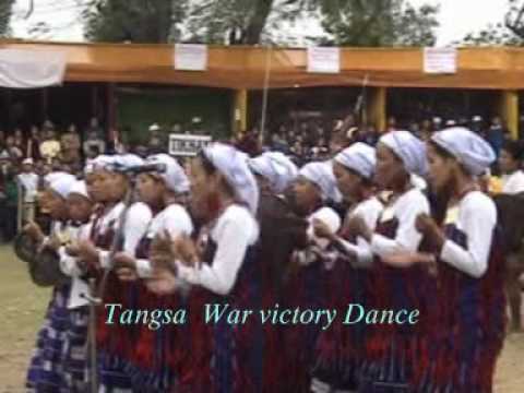
Major Festivals: Mol-Mol, Pongtu Kuh, Shapawng Yang Manu Poi
Major Industries: Tourism, weaving, cattle farming, piggery, diary
Fauna: Tiger, Clouded Leopard, Elephant, Gaur, Sambar, Malayan Sambar, Hog Deer, Wild Boar, Lesser Panda, Slow Loris, Hoolock Gibbon, Hornbill, Wood Pecker, Dove, Forest Eagle, Bulbul, Peacock, Monal Pheasant, Pigeon
What is Changlang District Famous For: Exotic flora and fauna, waterfalls and snow capped mountains
Last Updated : Thursday Jun 14 , 2012