Area: 9 square kilometers
Density of Population: 4659 people per square kilometer
Literacy Rate: 98.35 % - Male: 99.24 %, Female: 97.61 %
Male Female Ratio: 1000:1176
Boundaries of Mahe District
North: Kannur District, Kerala
South, East and West: Kozhikode District, Kerala
Mahe District Average Rainfall: 3266 mm
Mahe District Temperature in Summer: 22 deg C to 35 deg C
Mahe District Temperature in Winter: 22 deg C to 32 deg C
MAHE DISTRICT MAP

Major Rivers: Ponniyar, River Mahe
Blocks: Mahe
Revenue Villages: Mahe, Palloor, Cherukallayi, Chalakkara, Pandakkal
Assembly Constituencies: Mahe, Palloor
Mahe District Nearby Attractions
1. Ayyappan Kavu
2. Sree Hareeswara Temple
3. Puthanambalam Irattappilakkool
4. Sree Krishna Temple
5. Sree Ayya Temple
6. Sree Venugopalalayam
7. Manikkampoyil Temple
8. Tagore Park
9. Mahe Walkway
Mahe District Facts: This is one of the four disjoint districts of the Union Territory of Pondicherry. This is the sixth least populous district in the country. The name Mahe originated from the name Mayyazhi meaning the eyebrow of the sea.
Major Agricultural Products: Coconut, arecanut, paddy, black pepper, tapioca
Major Educational Institutions: Mahatma Gandhi Government Arts College, Mahe Co-operative College of Education, Sree Narayana College of Education, Mahe Institute of Dental Sciences and Hospital, Rajiv Gandhi Government Ayurveda College
What is Mahe District Famous For: Handmade ceramic pottery
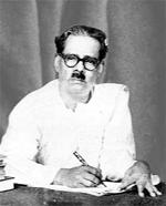
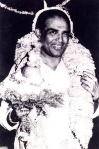
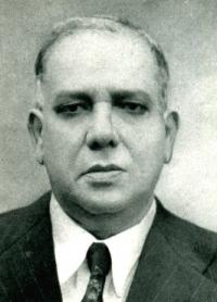
Famous People From Mahe District: I.K. Kumaran, P. Kumaran, C.E. Barathan, P.K. Raman, M. Mukundan, M. Raghavan, K. Ravindran, K.E. Moidu
Last Updated : Thursday Jun 14 , 2012


