Area: 10,990 square kilometers
Density of population: 179 people per square kilometer
Literacy Rate: 70.25 % - Male: 79.33 %, Female: 60.07 %
Male Female Ratio: 1000:887
Boundaries of Sri Ganganagar District
North: Punjab
South: Bikaner District, Rajasthan
East: Hanumangarh District, Rajasthan
West: Pakistan
Sri Ganganagar District Average Rainfall: 203.6 mm
Sri Ganganagar District Average Temperature in Summer: 35.18 deg C
Sri Ganganagar District Average Temperature in Winter: 13.98 deg C
SRI GANGANAGAR DISTRICT MAP

Tehsils: Sri Ganganagar, Srikaranpur, Sadulshahar, Padampur, Raisinghnagar, Suratgarh, Anupgarh, Vijainagar , Gharsana
Assembly Constituencies: Sadulshahar, Ganganagar, Karanpur, Suratgarh, Raisinghnagar, Anupgarh
Sri Ganganagar District Nearby Attractions
1. Baror
2. Hindumalkot
3. Shivpur Head
4. Shivpuri Kagad
5. Fort of Anoopgarh
6. Suratgarh and Jaitsar Farms
7. Sri Jagdamba Anand Vidhyalaya
8. Gurudwara Sri Budhajod Shahab
9. Suratgarh Super Critical Thermal Power Station
Sri Ganganagar District Facts: The district was named after the General Saurabh Shah Maharaja Sir Ganga Singh Bahadur, the Maharaja of Bikaner. This district is called as the food basket of Rajasthan and the green district of the state.
Major Agricultural Products: Wheat, mustard, cotton, sun flower, jojoba, sugarcane, sugar beet
Major Industries: Cotton ginning, mustard oil mills, sugar mills, spinning, textile factories, automobile parts
Major Educational Institutions: Bharti Institute of Pharmaceutical Sciences, Government Law College, Bihani Institute of Management, Seth G. L. Bihani P. G. College, Guru Nanak Girls College, Sri Guru Nanak Khalsa Law College, Sri Ganganagar Veterinary College
What is Sri Ganganagar District Famous For: Food grains production
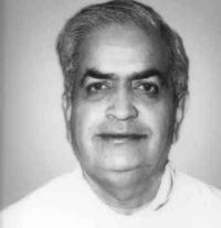
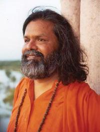
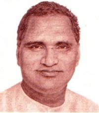
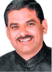
Famous People From Sri Ganganagar District: Jagjit Singh, Gyan Prakash Pilania, Nihalchand Chauhan, Avtar Singh Cheema
Sri Ganganagar District Pin Codes
Last Updated : Friday Jun 15 , 2012


