Date of Formation: Bandipora District was carved out of Baramulla District in 2007.
Area: 345 square kilometers
Density of Population: 1117 people per square kilometer
Literacy Rate: 57.82 % - Male: 68.41 %, Female: 46.24 %
Male Female Ratio: 1000:911
Boundaries of Bandipora District
North: Kashmir Region
South: Ganderbal District, Jammu and Kashmir
East: Kargil District, Jammu and Kashmir
North West: Kupwara District, Jammu and Kashmir
South West: Baramulla District, Jammu and Kashmir
Bandipora District Average Rainfall: 851 mm
Bandipora District Average Temperature in Summer: 23 deg C
Bandipora District Average Temperature in Winter: 5 deg C
BANDIPORA DISTRICT MAP

Tehsils: Bandipora, Sumbal, Sonawari, Gurais
Blocks: Bandipora, Gurez, Hajin, Sumbhal, Tulail
Assembly Constituencies: Gurez, Bandipora, Sonawari
Lakes: Wular Lake
Mountain Ranges: Sarendar, Kudara, Vewan, Mowa, Tresangam
Bandipora District Nearby Attractions
1. Danishwar also called Chota Amar Nath
2. Mt Harmukh
3. Kodara
4. Sheera Sir
5. Lies Guraze
Bandipora District Facts: Bandipora is noted for three As, Alim, Adab and Aab which means knowledge, good habits and water respectively. Wular Lake here is the largest fresh water lake in Asia. This district serves as a link connecting Central Asia through the silk route.
What is Bandipora District Famous For: Darul Uloom Rehamia, the largest religious institution in Jammu and Kashmir
Inhabitants: Gujjars, Bakarwals
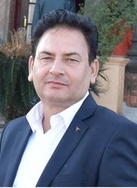
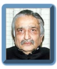
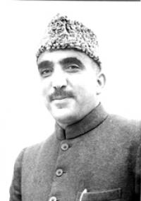
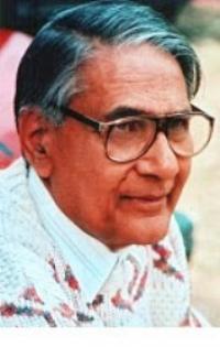
Famous People From Bandipora District: Syed Ali Shah Geelani, Muhammad Farooq Rehmani
Last Updated : Thursday Jun 14 , 2012


