Date of formation: West Nimar District was formed on 1st November 1956 and on 25th May 1998, it was bifurcated into Khargone District and Barwani District.
Area: 8030 square kilometers
Density of population: 233 people per square kilometer
Literacy Rate: 63.98 % - Male: 73.96 %, Female: 53.68 %
Male Female Ratio: 1000:963
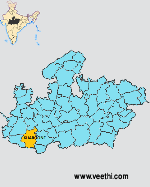
Boundaries of Khargone District
North: Dhar District, Indore District and Dewas District, Madhya Pradesh
South: Maharashtra
East: Khandwa District and Burhanpur District, Madhya Pradesh
West: Barwani District, Madhya Pradesh
Khargone District Average Rainfall: 726.5 mm
Khargone District Average Temperature in Summer: 33.90 deg C
Khargone District Average Temperature in Winter: 21.10 deg C
KHARGONE DISTRICT MAP
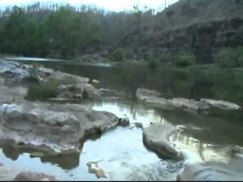
Major Rivers: Kunda River, Veda River, River Narmada
Tehsils: Barwaha, Bhikangaon, Jhiranya, Kasrawad, Khargone, Bhagwanpura, Segaon, Maheshwar
Assembly Constituencies: Badwaha, Bhagwanpura, Bhikangaon, Kasrawad, Khargone, Maheshwar
Khargone District Nearby Attractions
1. Maheshwar
2. Mandleshwar
3. Wool
4. Bkwan and Raverkedi
5. Dejla-Deora
6. Sirvel Mahadev
7. Nihaleshwar
8. Barwah and Sanawad
Khargone District Facts: It is one of the 24 most backward districts of Madhya Pradesh that is receiving funds from the Backward Regions Grant Fund Program.
Major Agricultural Products: Jowar, makka, soybean, wheat, cotton
Major Industries: Ginning mills, cotton yarn fiber, sugar mills, handloom industry
What is Khargone District Famous For: Cotton and Chilly production
Famous People From Khargone District: Ahilyabai Holkar, Krishna Murari Moghe
Last Updated : Friday Jun 15 , 2012


.jpeg "Jagdish Chaturvedi (poet)")


