Area: 5334 square kilometers
Density of population: 380 people per square kilometer
Literacy Rate: 69.80 % - Male: 76.70 %, Female: 62.20 %
Male Female Ratio: 1000:893
Boundaries of Firozpur District
North: Amritsar District, Punjab
South: Fazilka District, Punjab and Sri Ganganagar District, Rajasthan
East: Moga District, Faridkot District and Muktsar District, Punjab
West: Pakistan
Firozpur District Average Rainfall: 207 mm
Firozpur District Average Temperature in Summer: 34.6 deg C
Firozpur District Average Temperature in Winter: 13.88 deg C
FIROZPUR DISTRICT MAP

Major Rivers: River Sutlej, River Beas
Tehsils: Firozpur, Zira, Guru Har Sahai
Assembly Constituencies: Guru Har Sahai, Firozpur City, Firozpur Rural, Zira
Firozpur District Nearby Attractions
1. National Martyrs Memorial at Hussainwala
2. Saragarhi Memorial
3. The Barki Memorial
4. Anglo Sikh War Memorial
5. Pothi Mala
6. Harike Bird Sanctuary
7. Jain Mandir Zira
8. Gurudwara Zamini Sahib
9. Boparai Rifle Range Khane Ke Ahel
Firozpur District Facts: Firoze Shah Tughluqe is said to have founded the city of Ferozepur and thus it got its name.
Major Agricultural Products: Wheat, millet, barley, gram, pulses, oil seeds, cotton, tobacco
Major Industries: Dev Raj Hi-Tech Mills, Matharu, Indian Foundry Works, Zira Co-operative Sugar Mill
Major Educational Institutions: R. S. D. College, DIET College, Dev Samaj College of Education for Women, Shaheed Bhagat Singh College of Engineering and Technology, Government Polytechnic College, D. A. V. College for Women
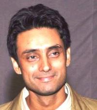
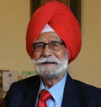
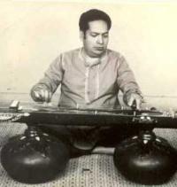
Famous People From Firozpur District: Ashfaq Ahmed, Susham Bedi, Alexander Cadell, Horatio Dumbleton, Balram Jakhar, Zora Singh Maan, Mukesh, Verma Malik, Ramesh Kumar Nibhoria, Narain Chand Parashar
Last Updated : Friday Jun 15 , 2012





.jpeg)