Area: 3690 square kilometers
Density of population: 939 people per square kilometer
Literacy Rate: 72.03 % - Male: 79.77 %, Female: 63.30 %
Male Female Ratio: 1000:887
Boundaries of Saharanpur District
North: Himachal Pradesh
South: Prabuddh Nagar District and Muzaffarnagar District, Uttar Pradesh
East: Uttarakhand
West: Haryana
Saharanpur District Average Rainfall: 684.7 mm
Saharanpur District Average Temperature in Summer: 32.44 deg C
Saharanpur District Average Temperature in Winter: 13.69 deg C
SAHARANPUR DISTRICT MAP

Major Rivers: Hindon River, Paondhoi, Dhamola, Ganda Nala
Tehsils: Saharanpur, Deoband, Nakur, Behat, Rampur Maniharan
Blocks: Ballia Kheri, Deoband, Gangoh, Muzaffarabad, Nagal, Nakur, Nanauta, Puvarka, Rampur Maniharan, Sadholi Kadim, Sarsawan
Assembly Constituencies: Behat, Nakur, Saharanpur Nagar, Saharanpur, Deoband, Rampur Maniharan, Gangoh
Saharanpur District Nearby Attractions
1. Shakti Peeth Shakumbari
2. Shakti Peeth Deoband
3. Guggha Veer Gughal
4. Nau Gaza Peer
5. Bada Shri Lal Das
Saharanpur District Facts: NH 73 passes through this district. This is a part of Saharanpur Division.
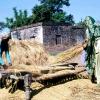
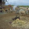
Major Agricultural Products: Wheat, rice, maize, jowar, bajra, sugarcane, oilseeds, cotton, jute
Major Industrial Products: Paper, sugarcane, hosiery material, wood carving
Major Educational Institutions: Technical Institute, Institute of Paramedical Sciences, Asian College of Management, Institute of Informatics Technology and Engineering, Deoband Unani Medical College, Jamiya Tibbiya Medical College, Islamia Degree College, Puranmal Ramlal College, Doon College of Law, Hari Institute of Education
What is Saharanpur District Famous For: Wood works
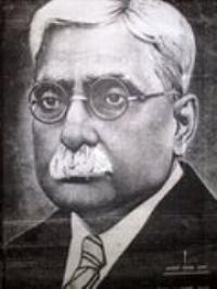
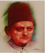
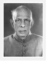
Famous People From Saharanpur District: Sachin Pilot, Sarul Kanwar, Jamshed Ansari, Alauddin Sabir Kaliyari, Rasheed Masood, Kanwaljit Singh, John Forbes Royle
Last Updated : Tuesday Jun 12 , 2012






.png)
.jpeg)