Area: 4459 square kilometers
Density of population: 404 people per square kilometer
Literacy Rate: 68.11 % - Male: 79.38 %, Female: 54.95 %
Male Female Ratio: 1000:863
Boundaries of Banda District
North: Fatehpur District, Uttar Pradesh
South: Madhya Pradesh
East: Chitrakoot District, Uttar Pradesh
West: Hamirpur District, Uttar Pradesh
Banda District Average Rainfall: 882.9 mm
Banda District Average Temperature in Summer: 33.90 deg C
Banda District Average Temperature in Winter: 15.73 deg C
BANDA DISTRICT MAP

Major Rivers: Yamuna, Ken
Tehsils: Banda, Naraini, Baberu, Atarra
Blocks: Baberu, Badokhar Khurd, Bisandi, Jaspura, Kamasin, Mahuwa, Naraini, Tindwari
Assembly Constituencies: Tindwari, Baberu, Naraini, Banda
Banda District Nearby Attractions
1. Chitrakoot
2. Kalinjar Fort
3. Bhuragarh Fort
4. Rangarh Fort
5. Khatri Pahar
6. Nawab Tank
7. Bamdeo Temple
8. Maheshwari Devi Temple
9. Four Stone Pillar at Kairada Village
10. Vamdeveshwar Temple and Mount
11. Pragee Lake
12. Awasthi Park
Banda District Facts: It is a part of Chitrakoot Division. It is the one of the 34 most backward district of Uttar Pradesh that is receiving funds from the Backward Regions Grant Fund Program.
Major Agricultural Products: Millet, food grains, pulses, rice, cotton, oil seeds, barley, masoor, peas, linseed
Major Educational Institutions: Pandit Jawaharlal Nehru Degree College, Adarsh Bajrang Inter College, Government Inter College, Saraswati Vidya Mandir Inter College, Raja Devi Degree College, B.P.M.P. Omer Inter College
Fairs: Bhuragarh Fair, Nawab Tank Fair, Chilla Fair, Bilgav Fair, Kalinjar Fair, Khatri Pahar Fair, Tihramafi Fair, Simauni Fair
What is Banda District Famous For: Shajar Stone used for making jewelry and Khajuraho and Kalinjar
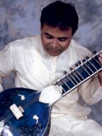
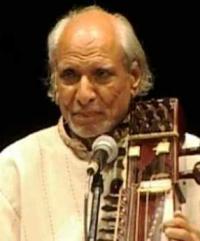
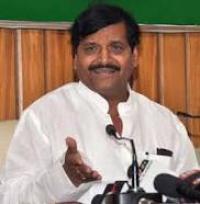
Famous People From Banda District: Ravi Shankar, Prasad Khattri
Last Updated : Tuesday Jun 12 , 2012


