Area: 4505 square kilometers
Density of population: 297 people per square kilometer
Literacy Rate: 66.19 % - Male: 82.72 %, Female: 47.80 %
Male Female Ratio: 1000:894
Boundaries of Sawai Madhopur District
North: Dausa District, Rajasthan
North West and West: Karauli District, Rajasthan
South West: Kota District, Rajasthan
South East: Bundi District, Rajasthan
East: Tonk District, Rajasthan
Sawai Madhopur District Average Rainfall: 804.8 mm
Sawai Madhopur District Average Temperature in Summer: 34.78 deg C
Sawai Madhopur District Average Temperature in Winter: 16.67 deg C
SAWAI MADHOPUR DISTRICT MAP

Major Rivers: River Chambal, River Banas
Sub Divisions: Sawai Madhopur, Kasba Khandar, Kasba Bonli, Gangapur City, Bamanwas Patti Khurd
Tehsils: Sawai Madhopur, Chauth Ka Barwara, Khandar, Bonli, Malarna Doongar, Gangapur City, Bamanwas
Assembly Constituencies: Gangapur, Bamanwas, Sawai Madhopur, Khandar
Sawai Madhopur District Nearby Attractions
1. Ranthombore Fort
2. Ranthambore Ganesh Temple
3. Amareshwar Mahadeo Temple
4. Rameshwaram Dam
5. Chamatkar Temple
6. Kala Gaura Bhairwa Temple
7. Khandar Fort
8. Chouth Mata Temple
9. Shiwad Temple
Sawai Madhopur District Facts: It is one of the 12 most backward districts in Rajasthan that is receiving funds from the Backward Regions Grant Fund Program.
Major Agricultural Products: Paddy, maize, pulses, jowar, bajra, sesame, groundnut, wheat, red chili, barley
Major Educational Institutions: NICT Computer Center, Government College, Government P. G. College, Saraswati PG College of Education
What is Sawai Madhopur District Famous For: Ranthombore Wildlife Reserve, guavas
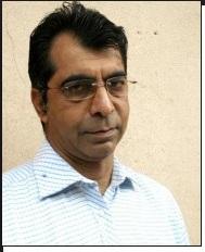
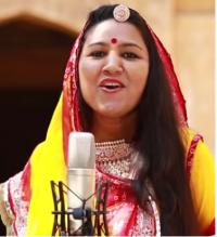
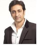
Famous People From Sawai Madhopur District: Jaskaur Meena, Kirodi Lal Meena, Namo Narain Meena, Kamal Ram, Ram Gopal Vijayvargiya
Sawai Madhopur District Pin Codes
Last Updated : Friday Jun 15 , 2012


